
CATEGORIES: Wayfinding and Interperative Signage.
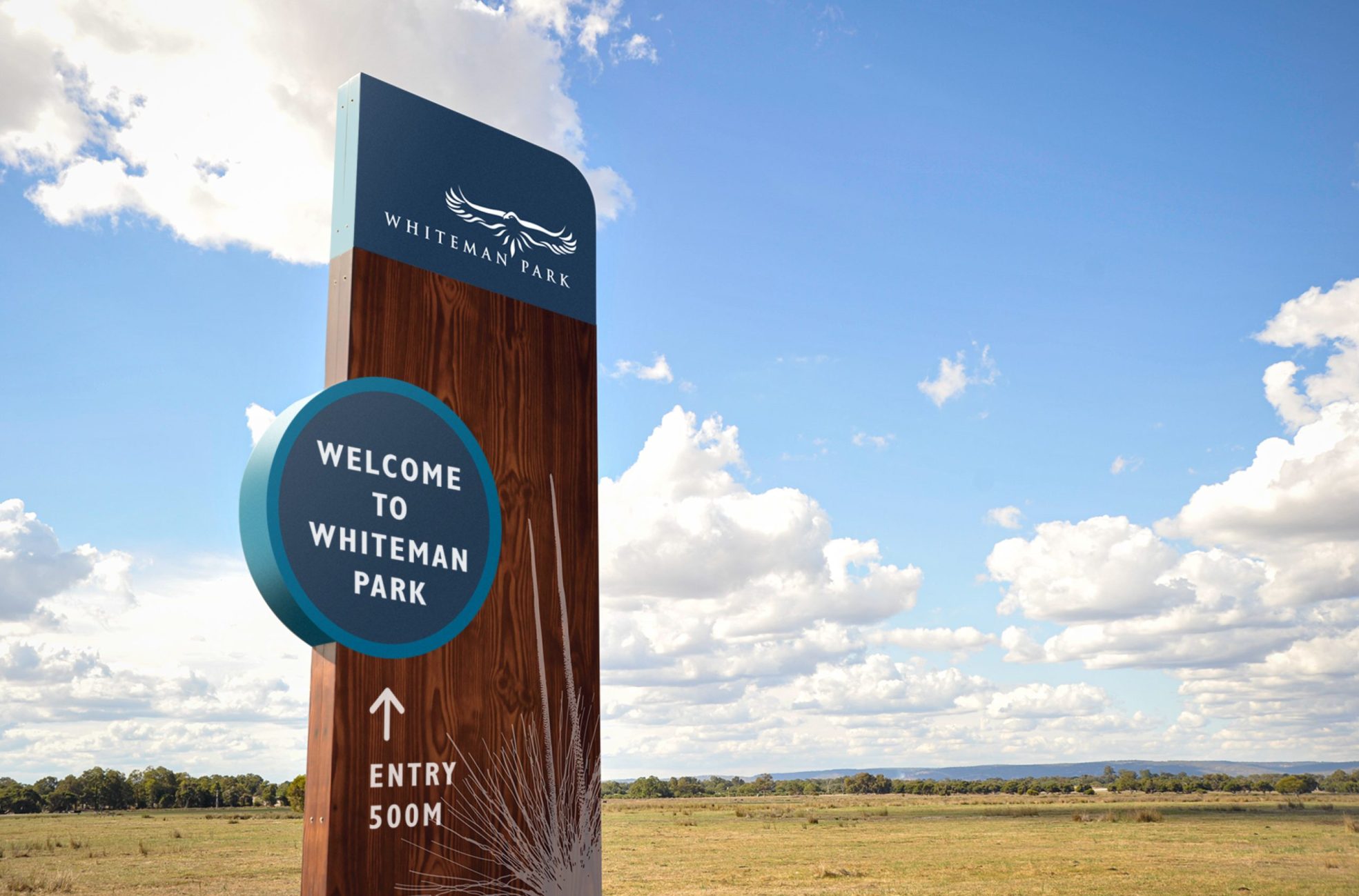
Whiteman Park, one of the largest metropolitan parks in the world, covering some 3700 hectares of natural bushland in Perth’s northern suburbs, is dedicated to the education and conservation of environmental, transport and cultural heritage.
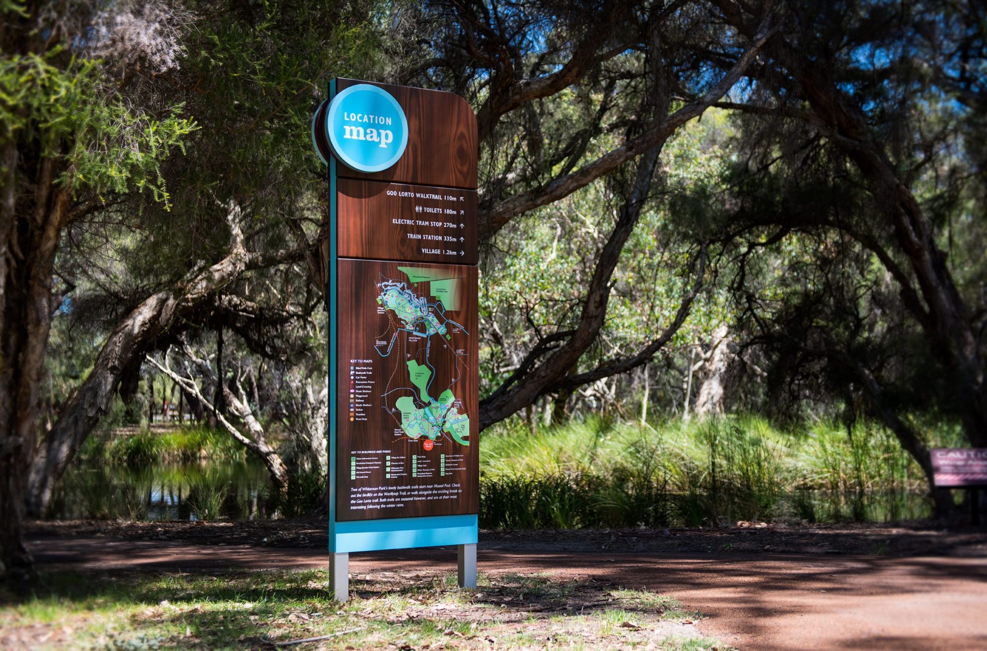
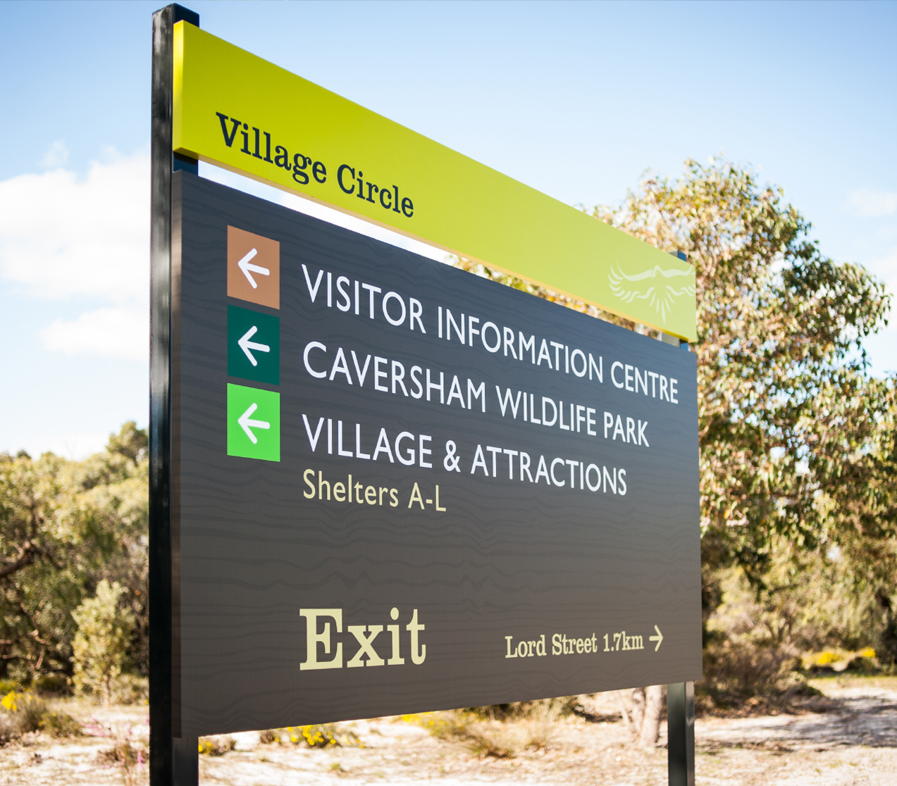
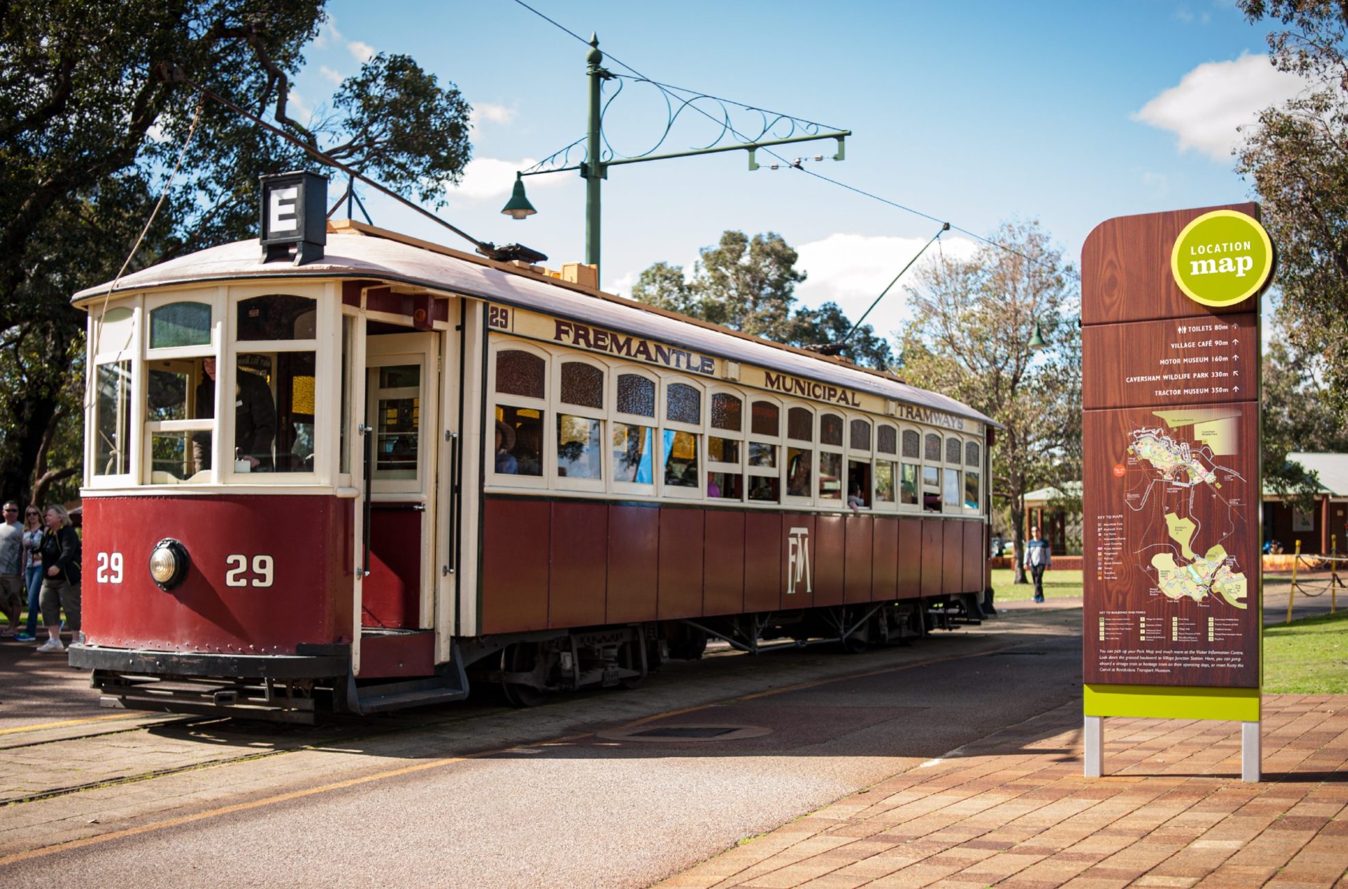
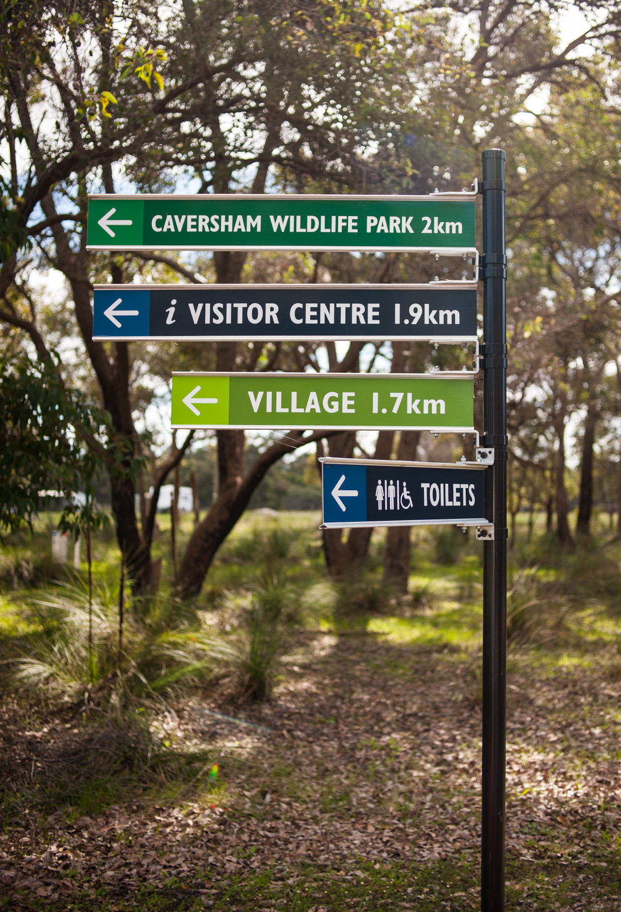
Having conducted a signage audit, park authorities recognised the need for clearer directional, way-finding and interpretative signage to enable visitors to make full use of the facilities and available attractions. Important tools for enhancing visitors’ experiences at the park, while facilitating navigation, providing information and creating sense of place.
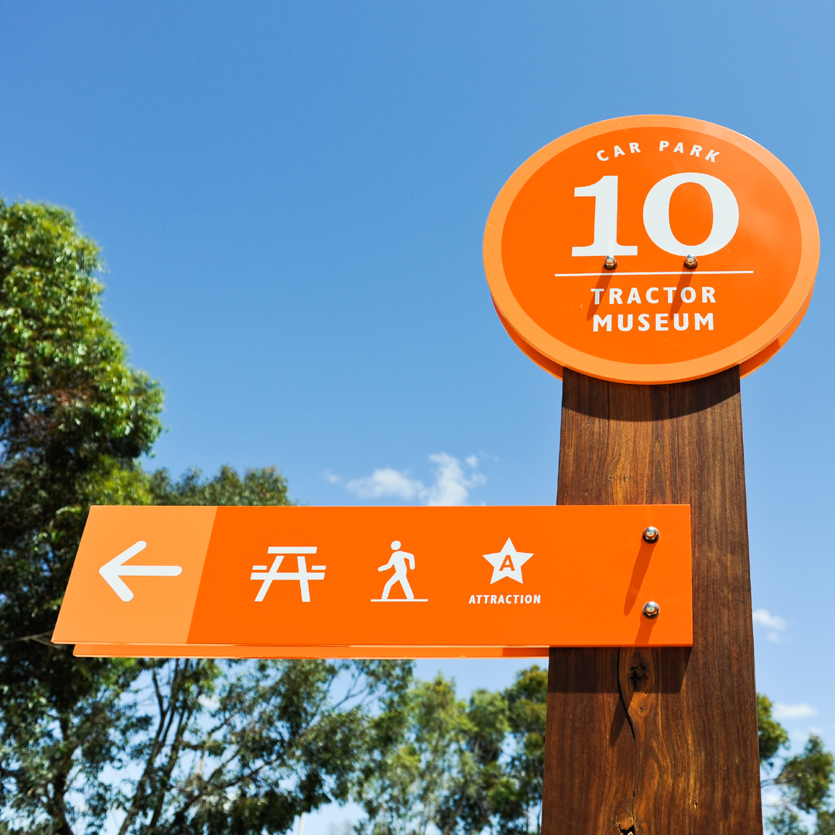
As a major tourist destination and with more than 20 areas assigned to car parks, easy to follow car park signage became top priority for this popular recreation and conversation reserve.
Assigning a colour to each of the four main areas – based on their key attractions and their east/west coordinates, a series of numbered sign posts were combined with jarrah bases featuring brightly colour lollipop tops to help quickly identify the car park as well as its location within the park and the surrounding attractions. Each of the jarrah bases, blending harmoniously into the natural background of the park, were graphically etched with a pictorial reference of the area to act as a visual reminder.
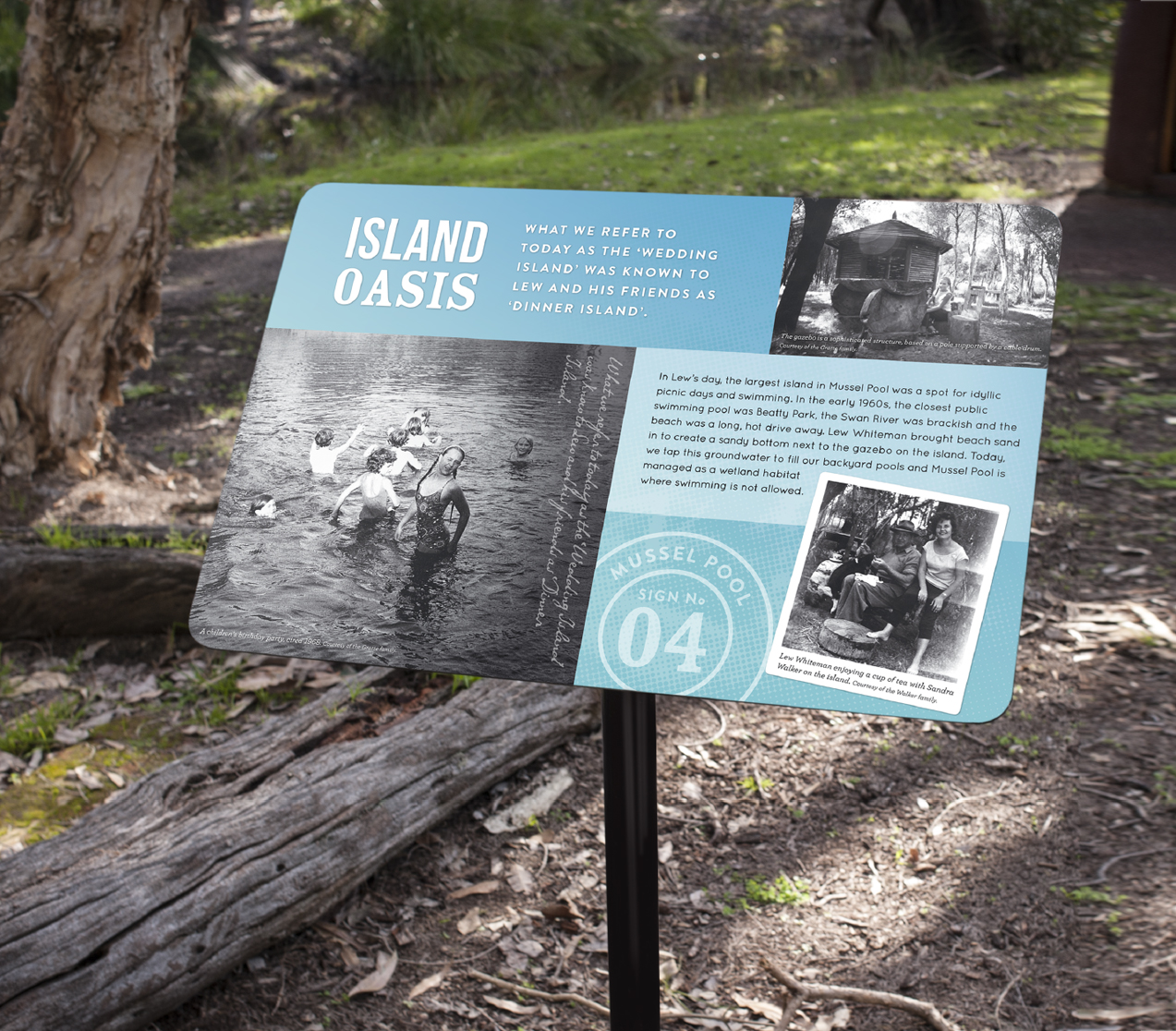
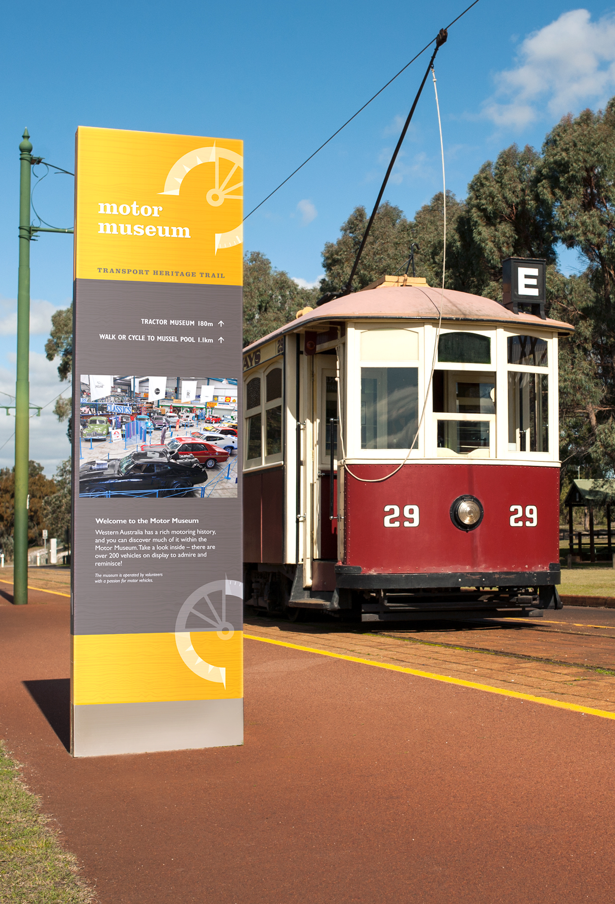
Having created other wayfinding and interpretative signs for specific areas of Whiteman Park, including walk trails, the Transport Heritage Museum and the Children’s Forest, help to provide clear directions and educational opportunities to deliver information on the park’s history, natural environment and cultural heritage.


